

Record-breaking El Nino approaching the world
The strengthening El Niño phenomenon in the Pacific Ocean could become the strongest on record. According to the US National Oceanic and Atmospheric Administration (NOAA), the probability of El Niño reaching historic levels in October-December 2026 is about 70 percent.
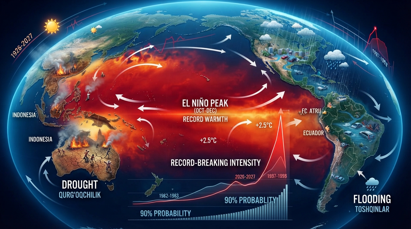
The world is approaching a record-breaking El Niño. Scientists say the El Niño that has formed in the Pacific Ocean is strengthening faster than expected. NOAA’s updated forecast says there is a greater than 90 percent chance of a very strong El Niño in the fall of 2026 and the winter of 2026-2027.
More importantly, there is a 69 percent chance that the El Niño intensity, a measure of the intensity of El Niño, will be 2.5 degrees Celsius or higher than normal during the October-December period. If this forecast comes true, the current El Niño could become the strongest event recorded since NOAA began observing in 1950.
Previous forecasts had also predicted a strong El Niño. However, the rapid rise in water temperatures in the Pacific Ocean and the increased coupling between the ocean and the atmosphere have prompted scientists to revise their forecasts.
For example, NOAA in June estimated the probability of a very strong El Niño at 63 percent. At that time, it was predicted that the event would intensify by the winter of 2026–2027 and would be one of the largest El Niños on record.
**When will El Niño peak?**
Computer models suggest that El Niño’s strongest period could be in late fall and early winter.
Scientists use averages over several months to assess ocean temperatures, rather than single-day or short-term readings. This helps reduce the impact of short-term changes in ocean temperatures on the overall forecast.
El Niño’s rapid intensification is also being driven by a large amount of heat accumulated in the tropical Pacific. Analyses based on NOAA data show that some areas of the ocean’s surface are up to 10 degrees Celsius warmer than normal.
**Record may be broken**
NOAA has been monitoring El Niño intensity since 1950. The new event could rival or even surpass the strongest El Niños on record.
In particular, very strong El Niños were observed in 1982–1983 and 1997–1998. If the current forecast holds, the 2026 event could exceed these historical records.
**Drought and flood risks could increase**
El Niño is a natural climate phenomenon associated with higher-than-normal surface temperatures in the equatorial Pacific Ocean. It can affect ocean and atmospheric circulation, changing weather patterns in different regions of the world.
A strong El Niño can increase the likelihood of precipitation and flooding in some areas, while increasing the risk of drought in others. In particular, the risk of drought in Australia and Indonesia may increase, and precipitation levels may change in parts of South America, Africa and the United States.
At the same time, scientists emphasize that even a record-breaking El Niño does not guarantee exactly the same weather scenario in a particular country or region. The intensification of the event increases the likelihood of certain climatic consequences, but other atmospheric processes also affect local weather.
Another important factor for scientists is the fact that the overall temperature of the tropical oceans has been increasing in recent decades. For this reason, the natural effect of El Niño is manifested against the background of global warming, and assessing its global consequences is becoming more difficult.