

A new pedestrian route has appeared in Tashkent, taking into account the landscaping of the streets.
Yandex Maps in Tashkent has added a new pedestrian route type—"Green." When creating a route, the service suggests an option that passes through areas with a higher tree density and potentially more shaded areas.
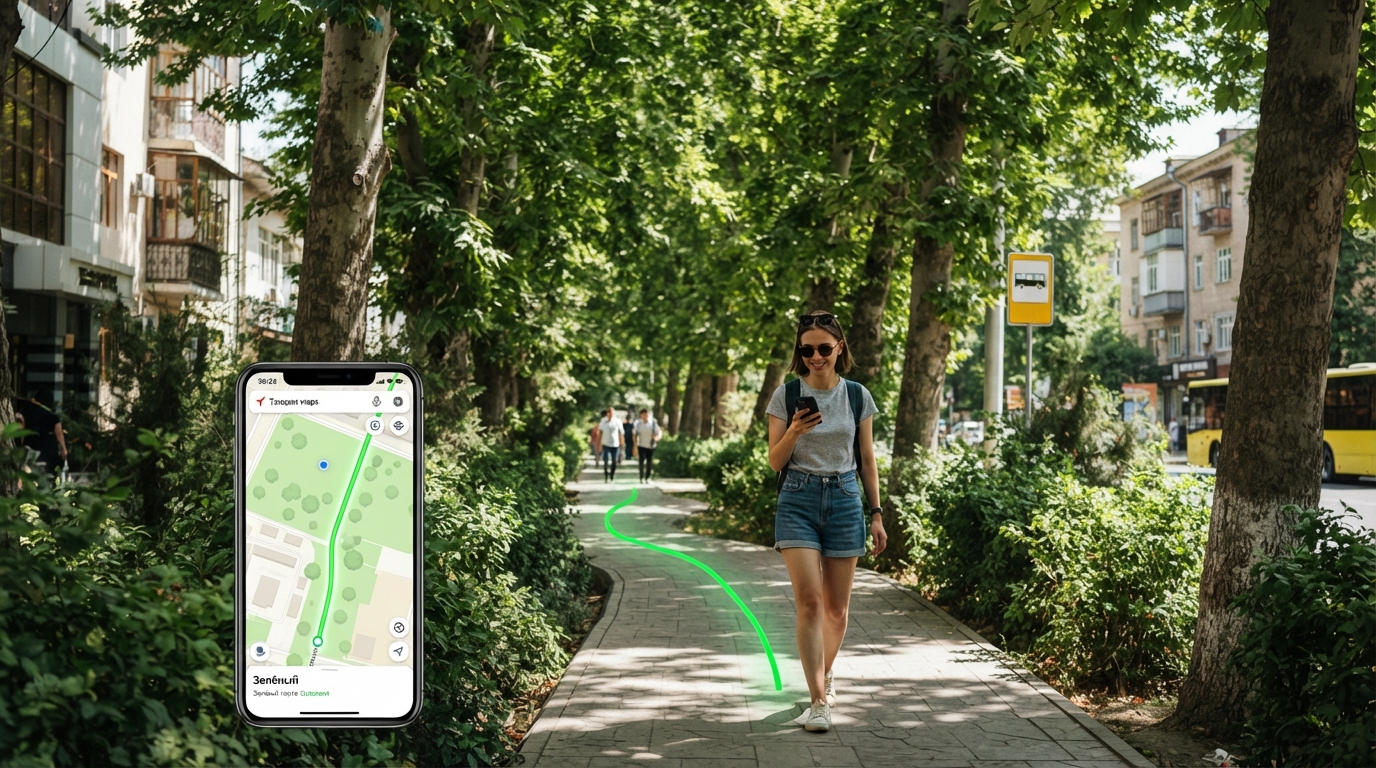
An innovative pedestrian route focused on greening streets has been introduced in Tashkent.
Tashkent, Uzbekistan (UzDaily.uz) —
The Yandex Maps app for Tashkent has introduced a new type of pedestrian route, dubbed "Green." When creating a route, the service suggests a path that passes through areas with a higher concentration of trees and, therefore, potentially more shaded areas.
Uzbekistan is the first country where Yandex Maps has launched this feature.
When creating a "Green" route, the algorithm analyzes a number of parameters, including the proportion of open sections of the route, the density of tree canopy cover, the average air temperature, and the total route length. The alternation of open and shaded areas is also taken into account.
To determine the degree of greening, the Yandex Maps team developed a digital tree map of Tashkent. Using a neural network, satellite images of the city were analyzed to determine the location and area of tree canopies.
According to the company, the model can process a color satellite image of an area of up to 100 square kilometers in one to two minutes, identifying tree-covered areas.
On a control sample of images not used in the training process, recognition accuracy was approximately 90%. The resulting data was then compared with pedestrian streets, paths, and crosswalks.
The new feature can be used when choosing a route to a metro station or bus stop, during walks, and for everyday commuting around the city. The user simply enters the starting and ending points and selects a pedestrian route. If a "Green" option is available, it will be displayed among the suggested routes.
The development of such digital solutions also allows for a new appreciation of the importance of urban greenery. Trees and shaded areas are becoming an important factor in the comfort of pedestrian infrastructure, especially in high summer temperatures.
A digital map of green spaces can serve as an additional tool for assessing the urban environment and raising awareness of the need to preserve and develop green spaces.